Wushuang Bridge 2010 January
This was a 5 day, 4 night hike from 28 January through
1 February 2010. We hiked downhill 2 days to do
a half-day bird survey just inside the border of
Yushan National Park. It took us 2.5 days to hike out.
It was a rough hike. We averaged 6 whole kilometers
each day (about 3.8 miles).
January 28
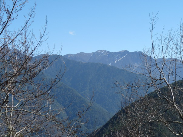
Snow on Yushan's North and Main peaks. At 3952 m (almost 14,000 ft),
Yushan is Taiwan's tallest mountain. This was at a Taiwan Forestry
Bureau checkpoint--the second we had to pass through.
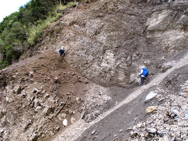
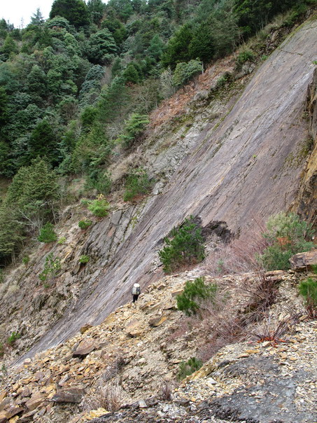
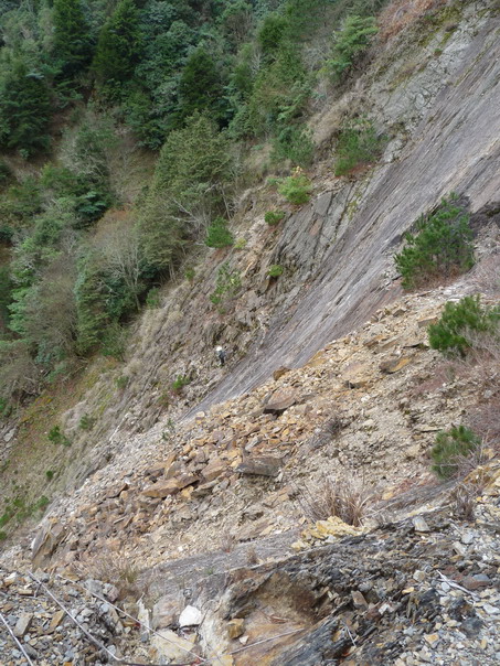
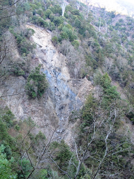
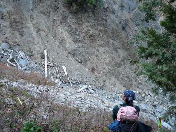
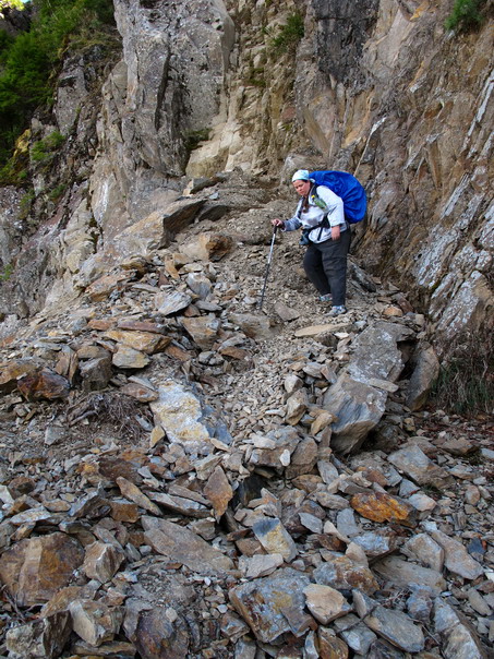
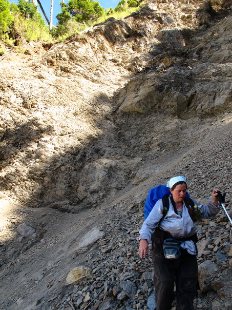
Lini & CL cross the second landslide.
Because this landslide blocked the road, we hiked two extra days.
AD crossing the second landslide.
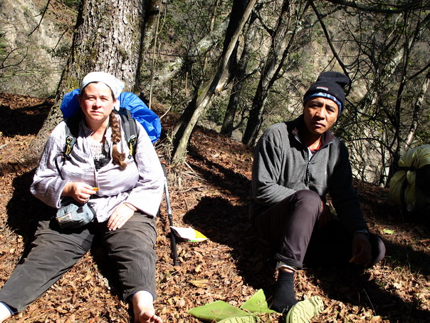
Lunch.
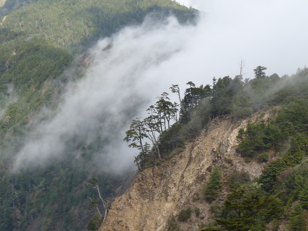
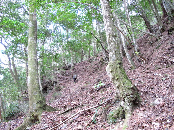
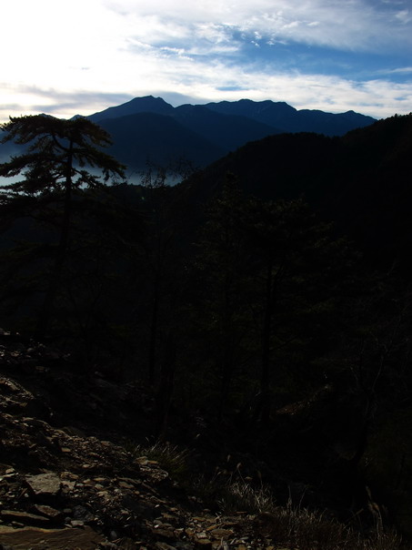
Clouds & Trees
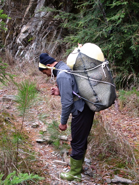
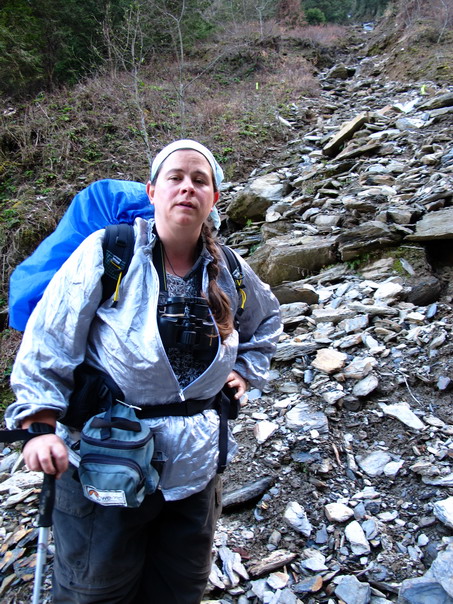
Lini's pack.
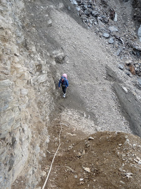
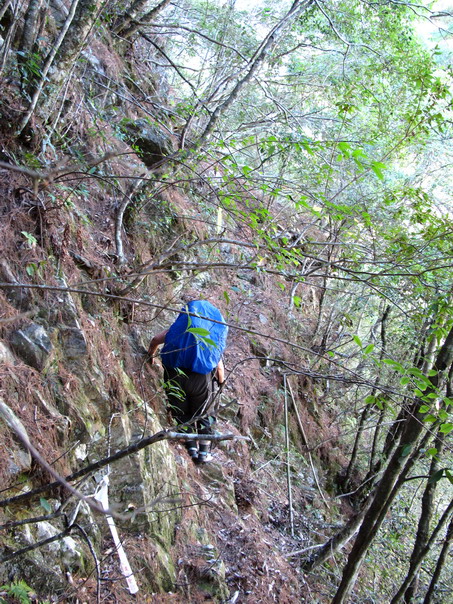
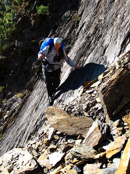
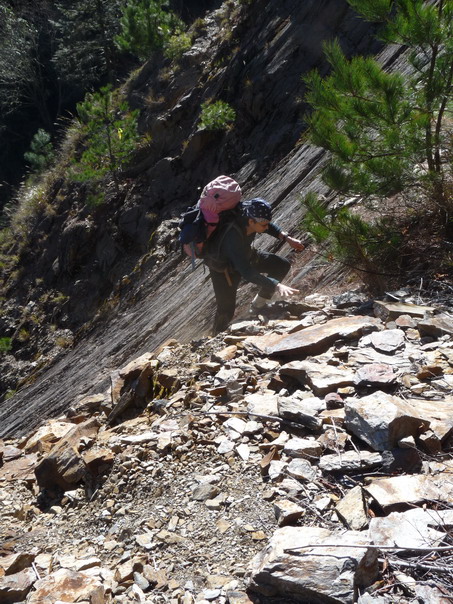
Lini getting ready to cross this precipice
Going down...
Climbing back up... (yes, he's really there--the white dot near the
center of the picture).
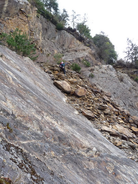
AD beginning to climb down.
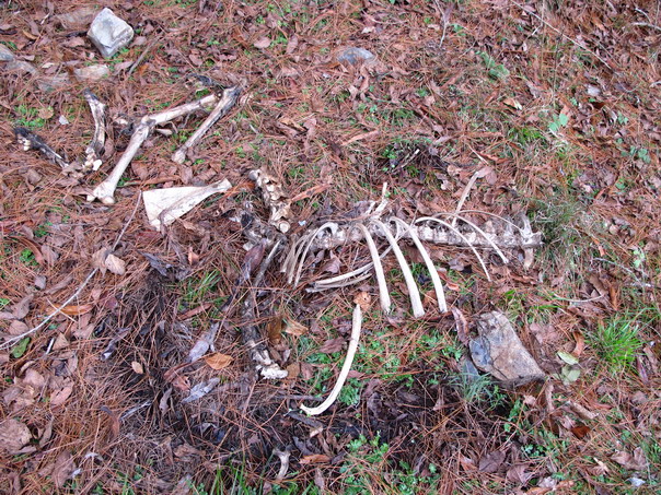
Why I don't like snares... They keep trapping long after the hunter
has left. These are remains of a Sambar Deer.
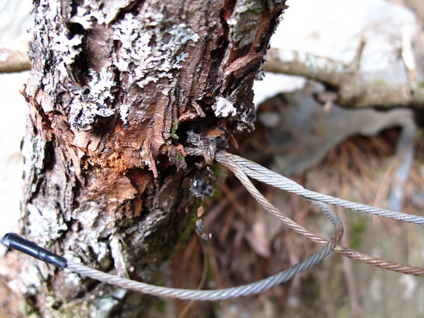
This snare has been around this sapling a LONG time--several years,
at least
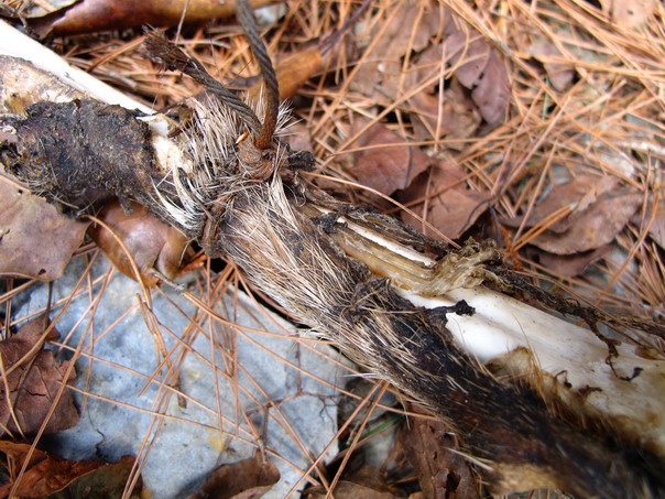
But the deer was killed about two months ago.
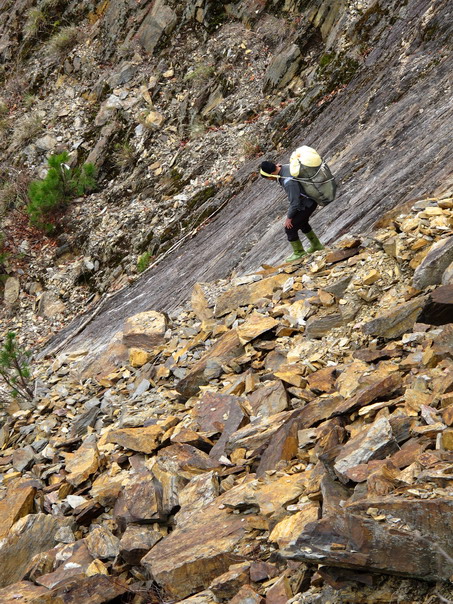
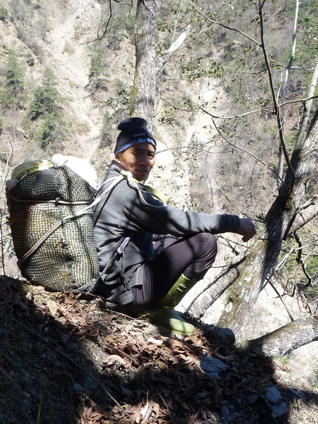
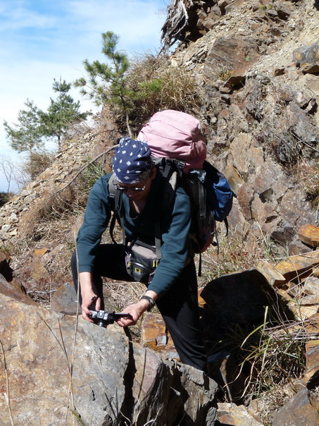
Lini digging out footholds.
The same slide after Lini has helped me across.
January 29
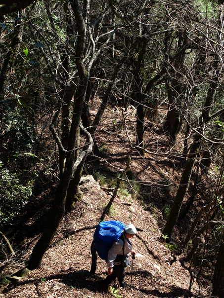
Day 2 and we're finally at the trailhead!!! All of the previous shots
were on a logging road.
Lini wants to know where all the grass went (we think Sambar ate it).
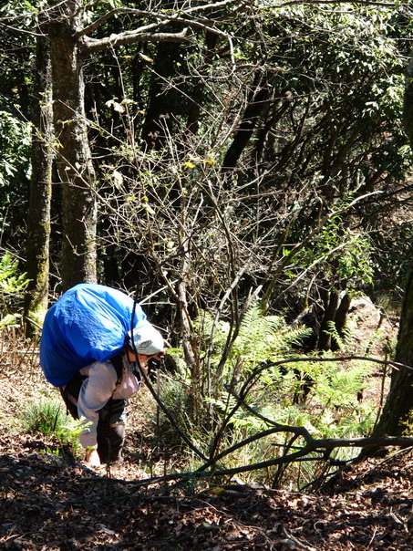
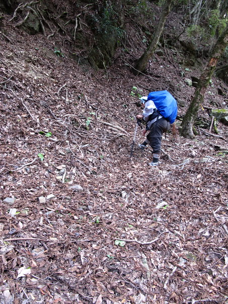
Here's where Lini tells CL to take off her shoes.
CL does the next 500 m change in
elevation in bare feet (it was steeeeeep and slippery).
CL going down...
and down...
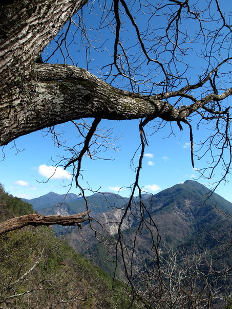
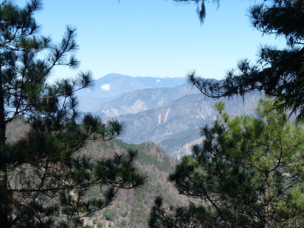
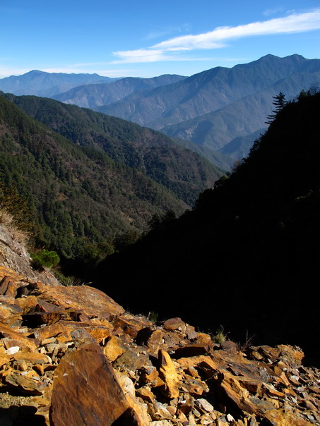
At least there are nice views of Wushuang Mountain.
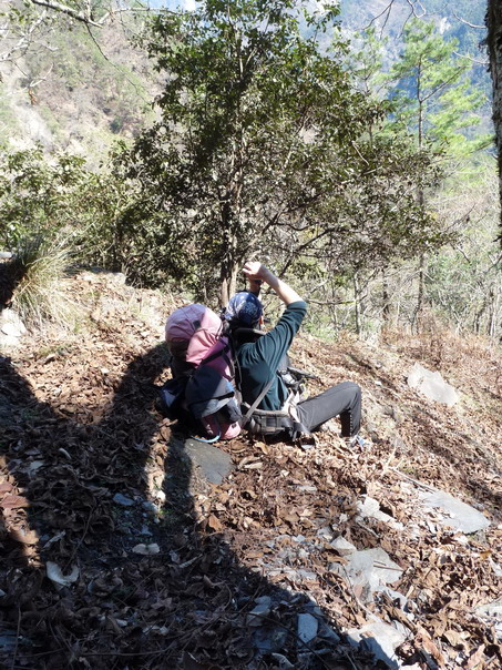
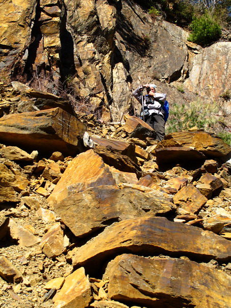
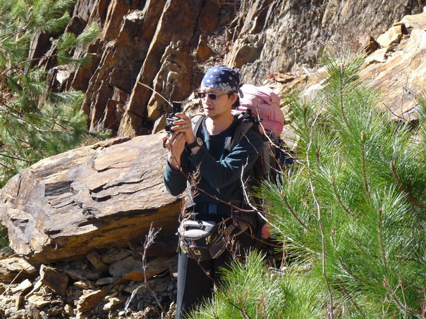
AD photographs the view during a rest break.
Lini during the same rest break.
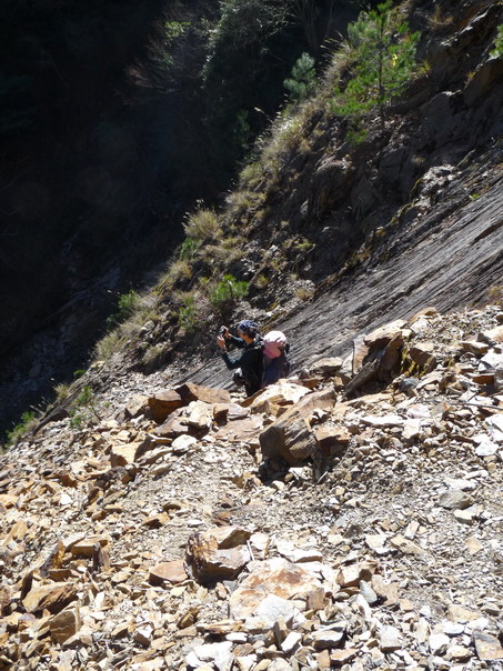
CL removes rocks from her sandals...
while AD waits patiently.
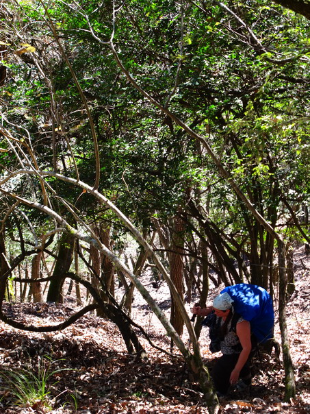
CL gets tangled up in ferns...
After lunch, we cross the Oualabi River and Lini takes off up the trail...
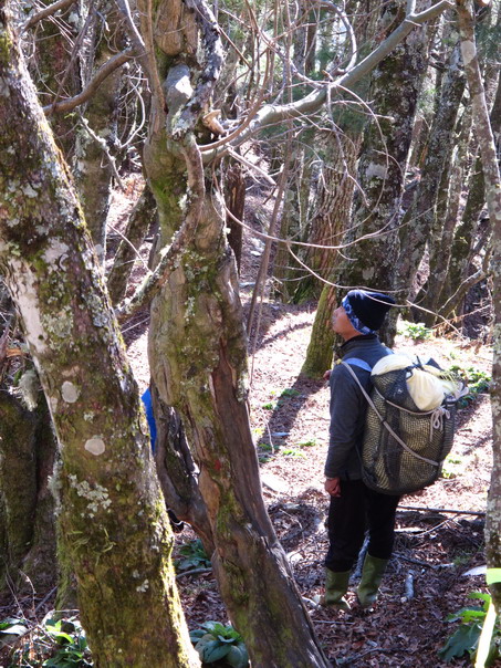
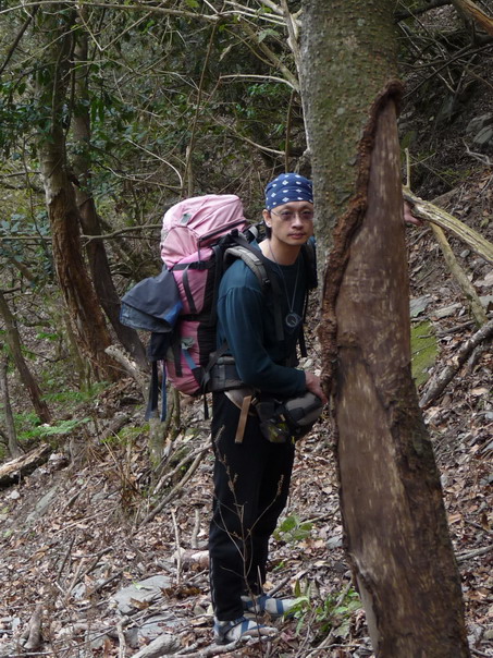
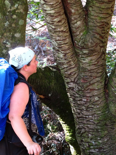
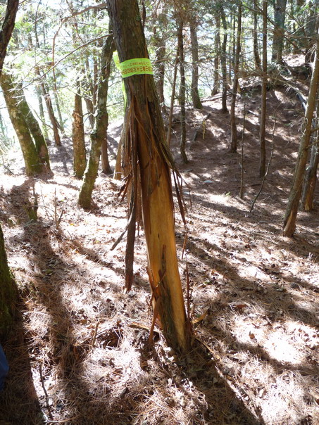
AD&I stop to photograph this tree. Sambar Deer are eating the bark.
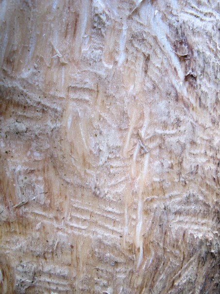
See the tooth marks?
We think the Sambar Deer are eating the bark because they've eaten all
the grass.
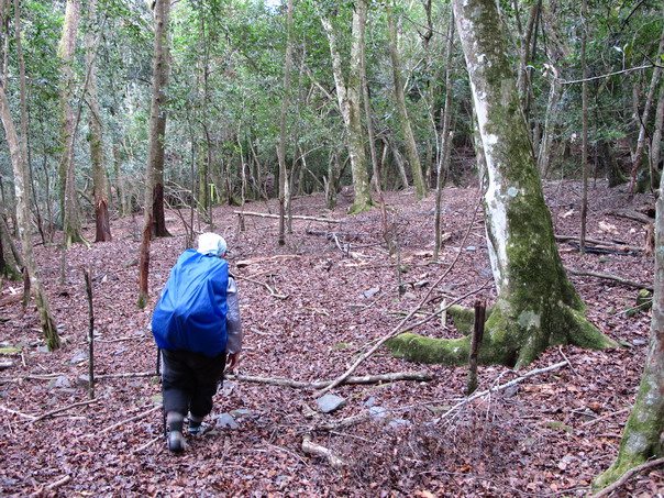
Once again, where is all the grass? 10 years ago when Lini last hiked
through here and 15 years ago when AD last hiked through here, you
couldn't see the forest for all the miscanthus grass.
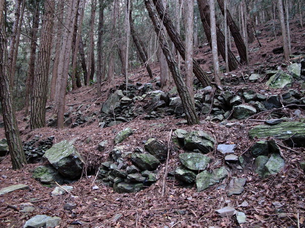
We also stop to photograph terracing by Lini's ancestors. They probably
grew millet on these terraces. The trees were planted much more recently
by the Taiwan Forestry Bureau.
AD "Did you fight among the three villages down here?" (Lini's ancestors
were headhunters).
Lini "No, we might want to marry their girls."
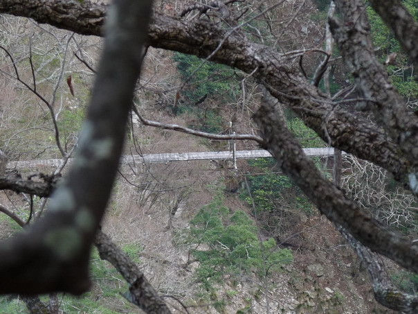
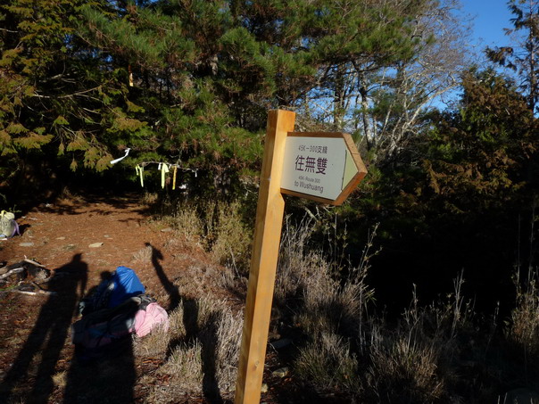
I spy Wushuang Bridge!
Anyone who wants to climb Wushuang Mountain has to cross this bridge! Lini crossed it at least 4 times.
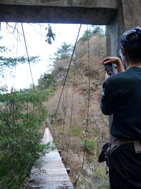
AD&I just took pictures of it. None show how far down the river is...
This bridge was built during Japanese times (when Japan governed Taiwan).
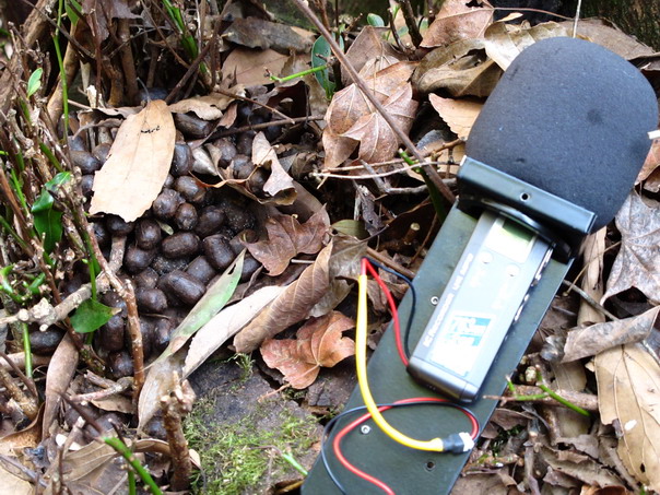
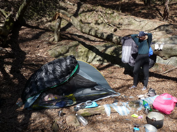
Finally, we're at the study site. AD sets up a sound recorder right over
Sambar Deer droppings.
January 30
The morning of Day 3.
AD airs out sleeping bags at camp.
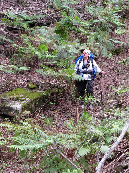
I list bird species.
Lini saved pack weight by not carrying a tent... or tarp... or
ground cloth. He found the sleeping mat near the Oualabi River.
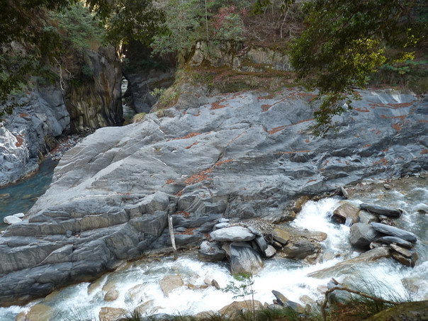
Our camp was right above the confluence of the Hayilalo Gorge and the Chunta River.
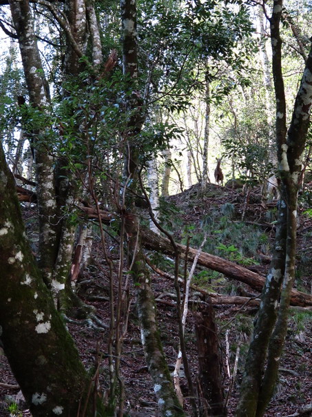
Hey, a Sambar Deer!
She stamped her feet at us.
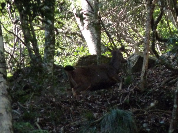
Now you see her...
Now you don't...
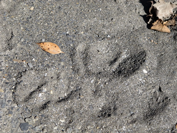
But some Sambar Deer left footprints in the sand...
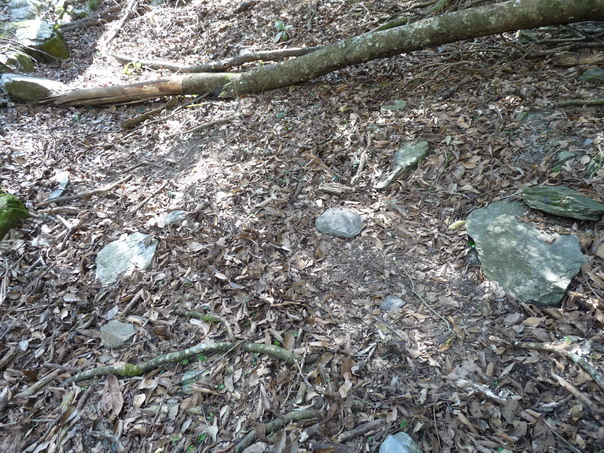
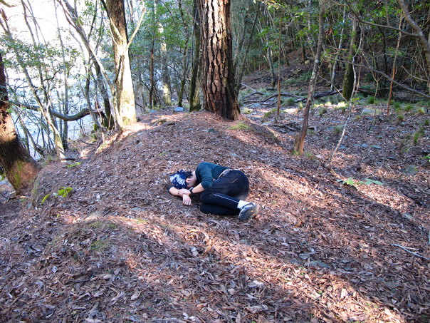
And two slept here (a baby and a mother).
See where the leaves look lighter and flatter?
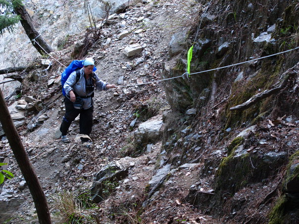
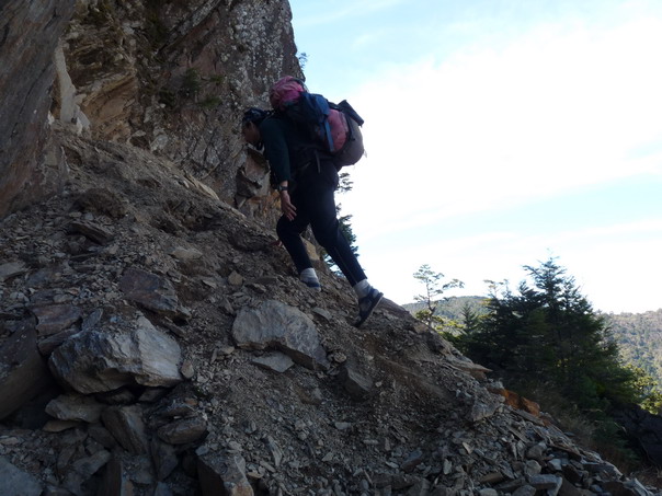
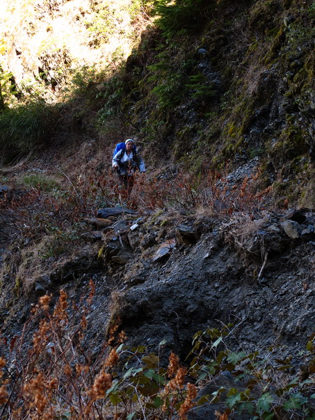
Hiking back to Oualabi river--this was the scary part of this section of trail...
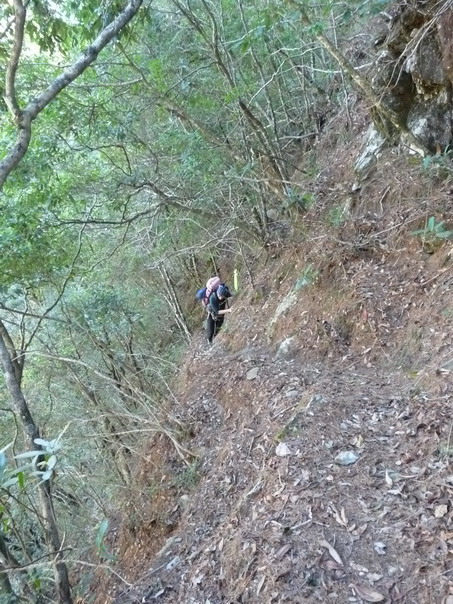
AD passes this section very carefully...
Here, AD pretends to be afraid of falling...
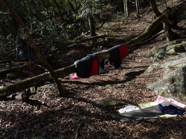
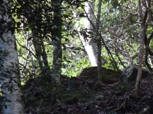
We camp near this spot where a Sambar Deer spent the night.
AD tries out the deer's sleeping spot, but later decides he prefers
his tent, sleeping bag, and air mattress...
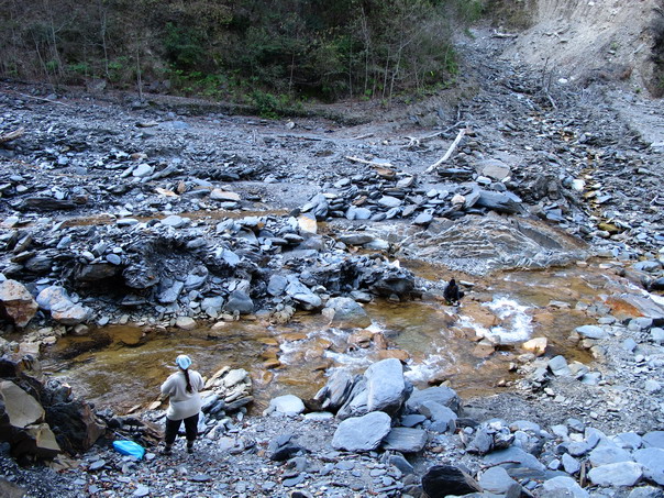
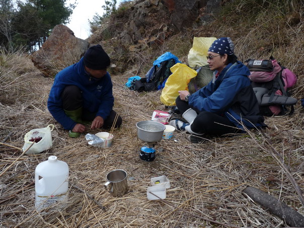
Cleaning up by the Oualabi River
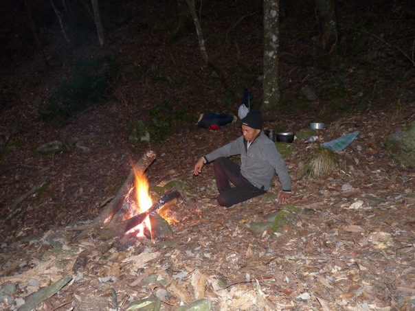
Lini relaxes by the fire.
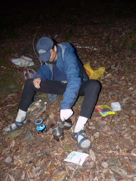
AD makes hot drinks on the gas stove.
January 31
On Day 4, we start hiking back up.
AD&I find a tree with bark like a Shar Pei.
Climbing up...
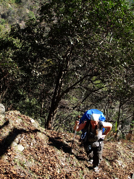
Puff. Puff. Puff.
High enough to see Wushuang Mountain.
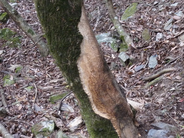
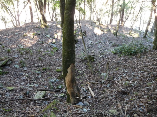
Many of these Chamaecyparis formosensis trees
(Taiwan Red Cedar) are girdled by Sambar Deer. They didn't eat the
bark. The males used the trees to polish up their antlers.
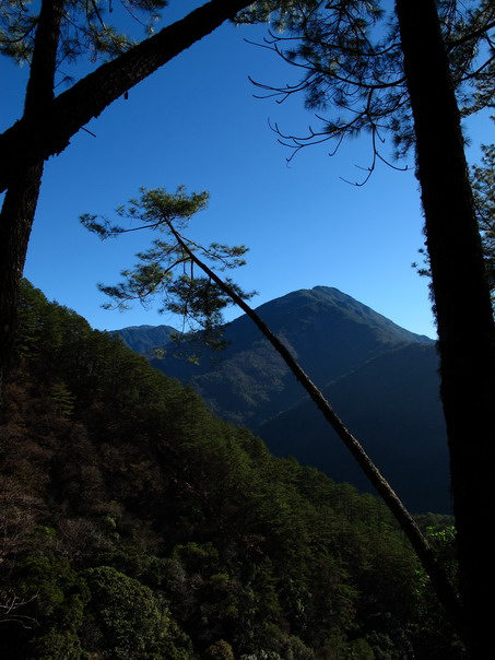
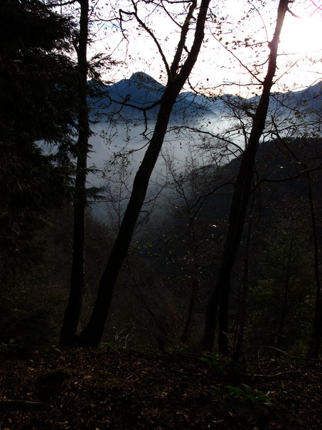
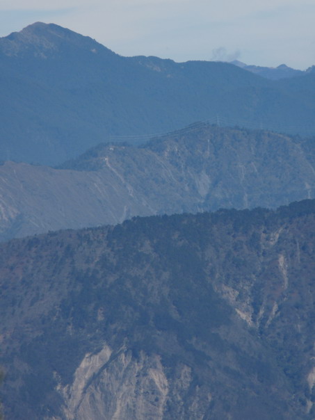
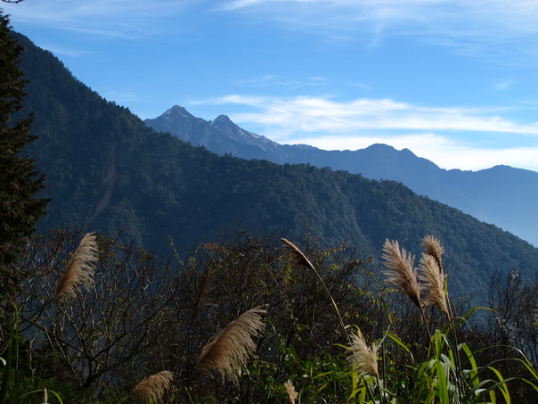
Finally back to the road and what a view!
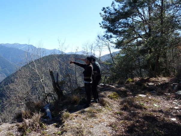
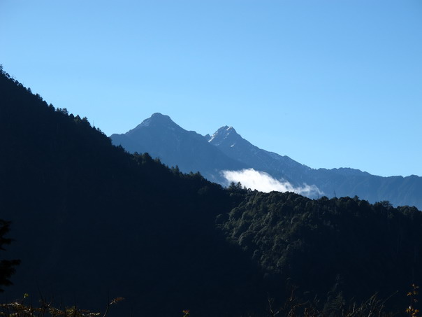
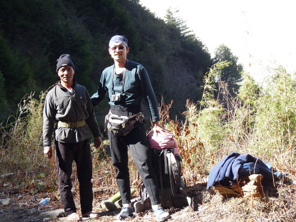
AD & Lini identify mountain peaks.
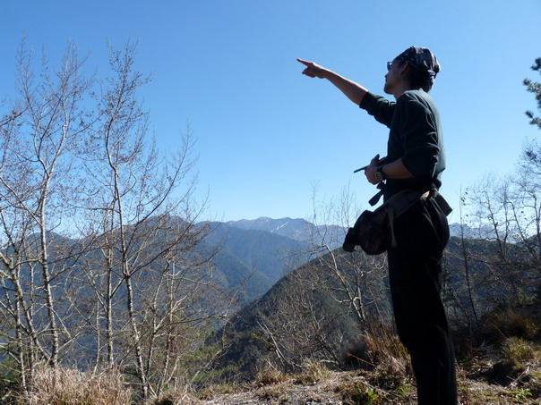
"See?" AD says.
Here are the peaks. The one with the snow is Shokulan.
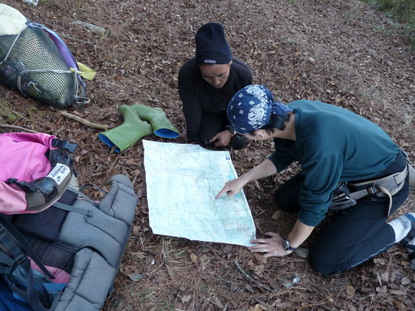
Lini & AD confirm identifications with the map.
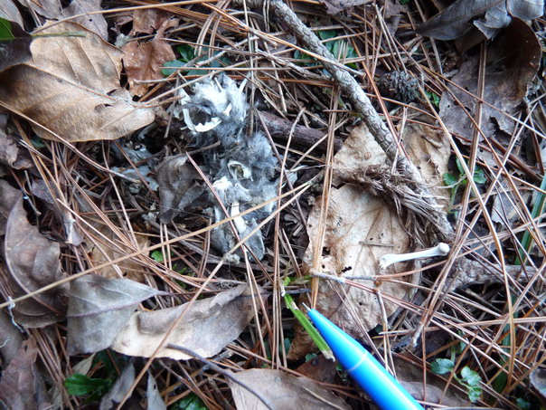
Hiking on, AD&I find an owl pellet. Look at the tiny mouse
humerus on the right of the pencil.
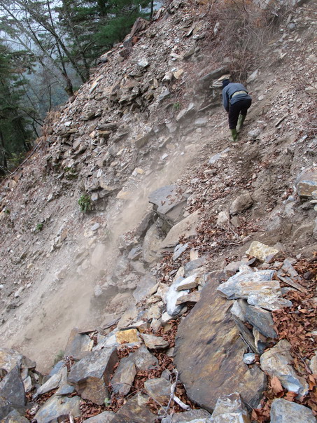
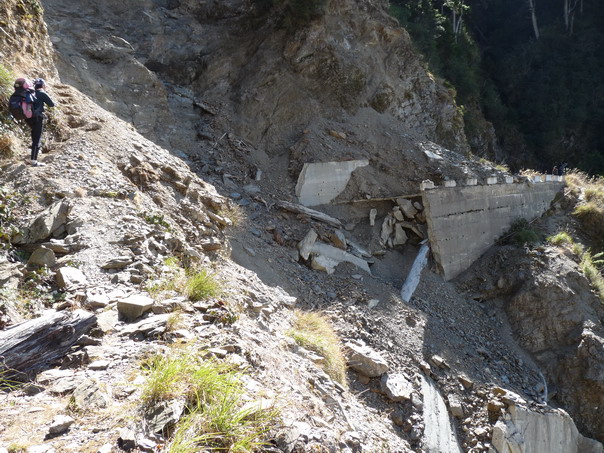
The last slide for the day.
For me, it was one slide too many,
but Lini and camp and water were already on the other side.
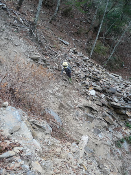
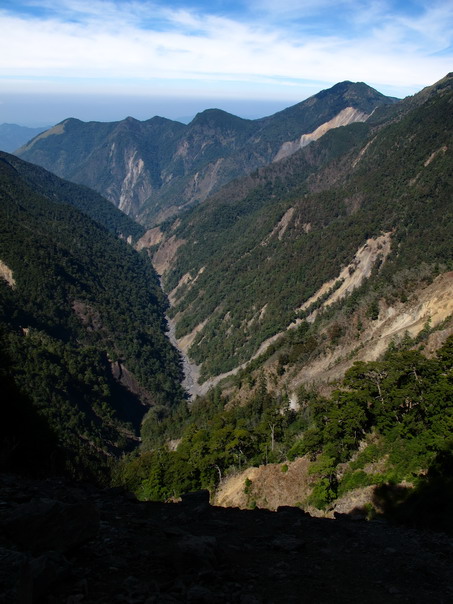
Going down. We're nowhere near the bottom.
In the river bed, but we still have to go down.
Starting to climb up the other side. I didn't like this! And it got worse.
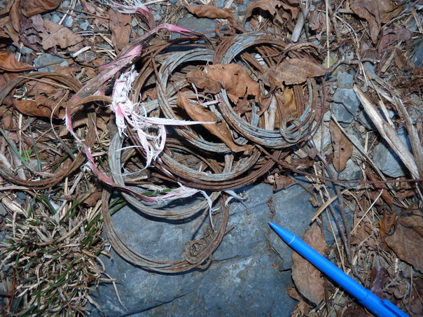
Once we got to the top, we found a cash of 12 snares. This
sort of snare caught that Sambar Deer we found on Day 1.
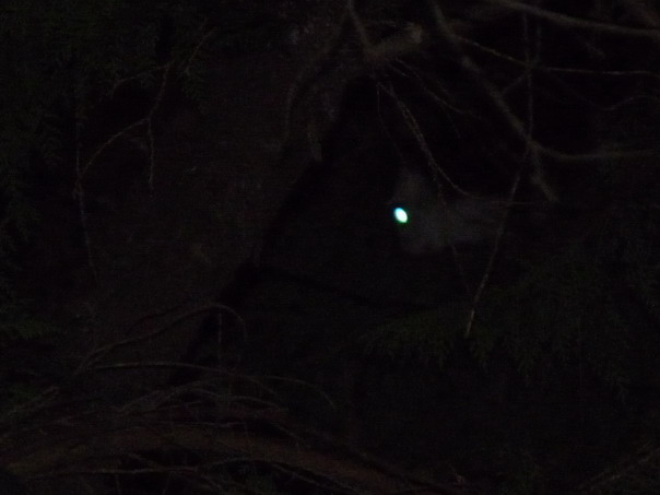
Lini went spotlighting for mammals each night and saw several Sambar
Deer each night. This night, he also found four White-faced Flying
Squirrels. If you look just left and down from that white eye, you
can see the squirrel's nose (you may also need to adjust the angle
of your computer screen)
February 1
Sunrise at Day 5.
Crossing another landslide...
That's the trail over yet another landslide...
Early morning view.
CL crosses the precipice again.
CL back up at the road photographing AD.
AD at the bottom photographing the view.
Here is the view.
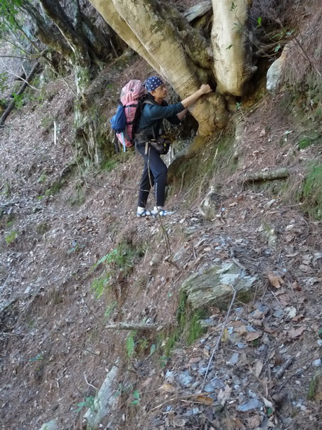
AD climbs up--hold onto that tree!
AD photographing the view from the top.
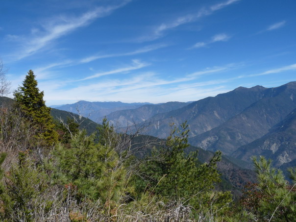
Another overlook of central Taiwan.
If you look at the peaks on the far left...
you can see Hohuan Mountain in Taroko National Park.
On a clear day at Hohuan, you can see the Pacific Ocean.
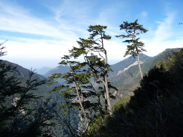
Hemlock trees and sky.
This is looking West. Down in the haze is the town of Shuili.
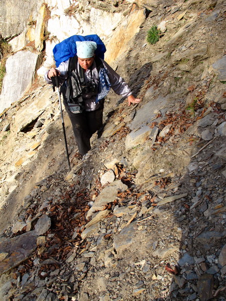
AD climbing up a landslide.
The view from the top.
CL climbs down the other side.
AD stops to photograph...
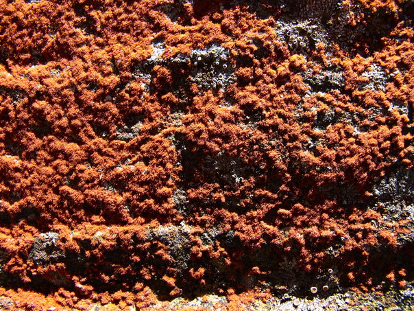
red lichen.
Back to the second landslide. Lini (far right) hollers for us to
be careful of the falling rocks. After 5 days of sunny skies, the
landslide is dryer now. Updrafts are knocking down stones.
AD & I both get hit by small stones. This is where my justified fear
of being hit on the head overrides my fear of falling. I boogie across
this landslide.
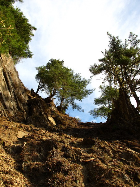
A flatter and quieter bit of logging road.
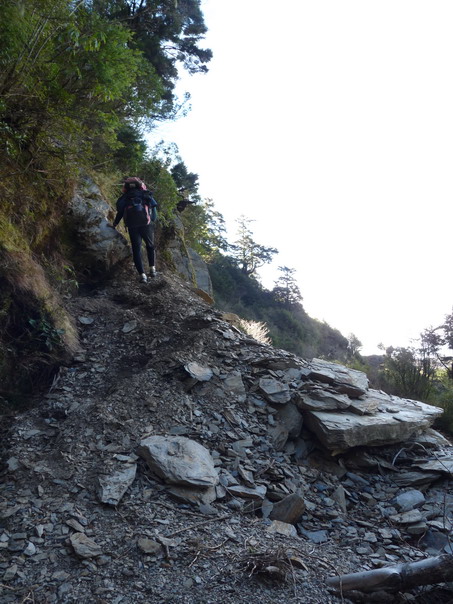
AD climbs the last landslide
Back at the car. Hot showers and Abus' cooking are only 2.5 hours
away by logging road and highway.
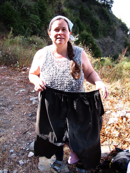
My pants are evidence it was a rough trip. They're split all the
way up the seam. I wear my lungi home.
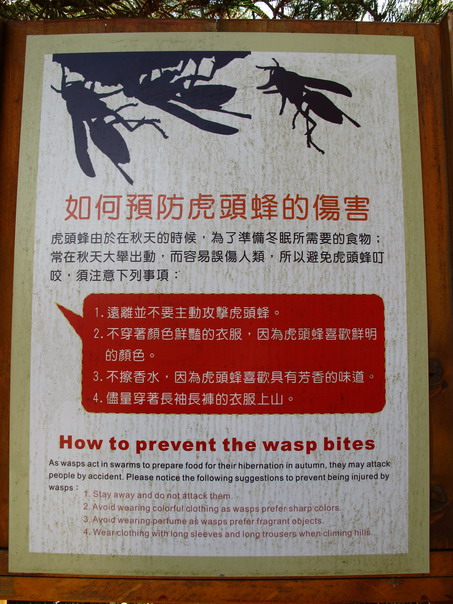
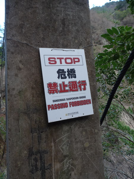
At least we didn't run into these! They kill a hiker every year
or so. It was supposed to be too cold for them. This sign was at...
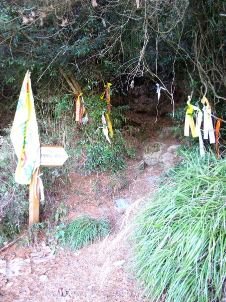
the trailhead for Chunta Mountain. Nope, we didn't climb it.
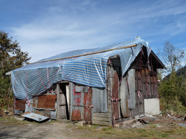
Also at the trailhead was this chateau. I really liked the waterproofing...
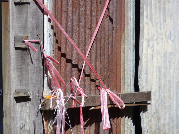
especially the scientifically tied knots with plastic string. With the
wind and sun at 3200 m in elevation, this string won't last but a month or so.
Back at the Taiwan Forestry Bureau checkpoint and its views of snow on Yushan.
|